
← All capabilities
Darkocean Aero
Aerial surveys, smarter insights
Drone-based surveys and monitoring for coastlines, sites and infrastructure.
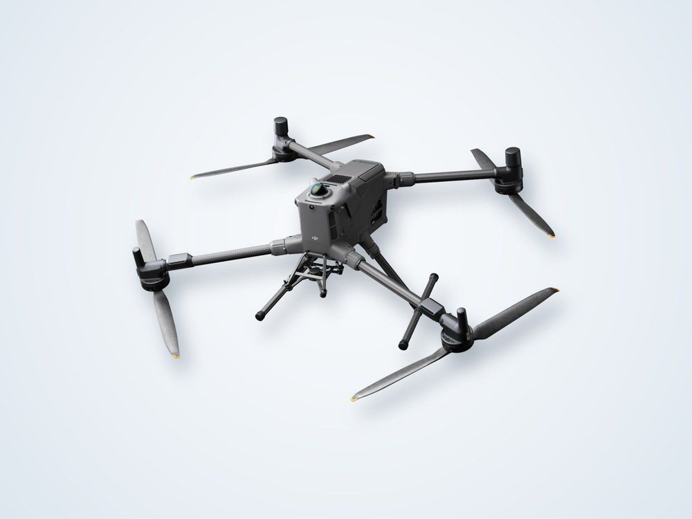
What we deliver
- Drone Topography
- Drone Bathymetry
- Drone SAR Monitoring
- Drone-Based Methane Detection
- Drone-Based Digital Twin & IoT
- Drone-Based Ground Penetrating Radar
Gallery
Other Darkocean divisions
Have a project in mind?
Tell us about the site, the timeline and the data you need.
