
Our Capabilities
From the seabed to orbit: Darkocean's specialist divisions deliver survey, AI, satellite, aerial and data services across Qatar, the UAE, Saudi Arabia, Kuwait, Oman, India and the United Kingdom.
Darkocean Subsurface Surveys
Seabed characterisation and asset integrity
Survey and inspection services that characterise the seabed and subsurface, and keep offshore assets safe throughout their life.
- Bathymetry Surveys
- Geophysical Surveys
- Geotechnical Surveys
- Environmental Surveys
- ROV Surveys
- Metocean Studies
- Asset Inspections
- Pipeline Inspections (Internal / External)
- Jacket Inspections (Face, Legs, Conductors)

Darkocean AI
Geo-Intelligence Solutions
AI and machine-learning tools that turn survey, satellite and operational data into faster, better-informed decisions.
- Synthetic Geotechnical Investigation
- NAVBathy
- Oil Spill Detection
- Underwater Object Detection
- Retrieval Augmented Generation (RAG)

NAVBathy
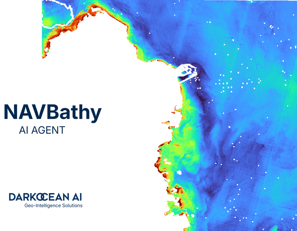
Satellite derived bathymetry and coastal intelligence
Satellite-based bathymetry and coastal monitoring, powered by AI and machine learning.
- AI/ML Satellite Derived Bathymetry
- High Resolution Satellite Imagery (0.3 m, 1.5 m, 10 m)
- InSAR Monitoring
- Ocean Measurements
- Beach Erosion History
- Sediment Transportation Index
- Weather Forecasting
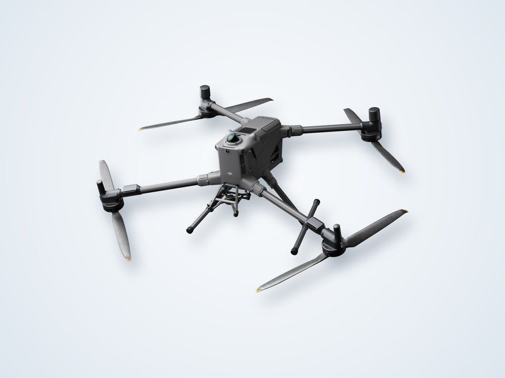
Darkocean Aero
Aerial surveys, smarter insights
Drone-based surveys and monitoring for coastlines, sites and infrastructure.
- Drone Topography
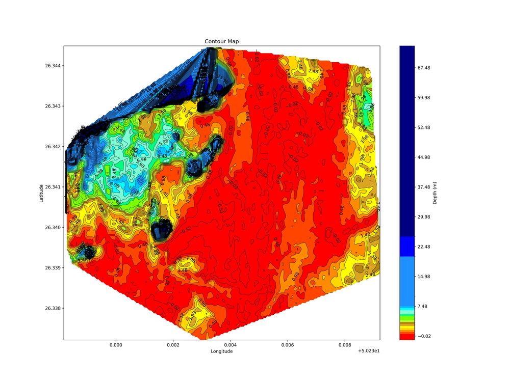
- Drone Bathymetry
- Drone SAR Monitoring
- Drone-Based Methane Detection
- Drone-Based Digital Twin & IoT
- Drone-Based Ground Penetrating Radar

Darkocean Sync
Offshore data, from vessel to cloud
Secure transfer and management of offshore survey data, from the vessel to the cloud.
- Offshore P2P Data Transfer
- Cloud Data Storage and Management
Other Capabilities
Support that runs across every division and project.
- Project Management
Technical Manpower
- Survey Crew
- Drone Pilots
- Trainers
Have a project in mind?
Tell us about the site, the timeline and the data you need.
