
← All capabilities

NAVBathy
Satellite derived bathymetry and coastal intelligence
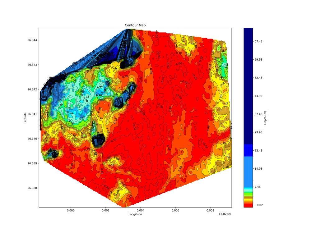
Satellite-based bathymetry and coastal monitoring, powered by AI and machine learning.
What we deliver
- AI/ML Satellite Derived Bathymetry
- High Resolution Satellite Imagery (0.3 m, 1.5 m, 10 m)
- InSAR Monitoring
- Ocean Measurements
- Beach Erosion History
- Sediment Transportation Index
- Weather Forecasting
Gallery
Other Darkocean divisions
Have a project in mind?
Tell us about the site, the timeline and the data you need.
