
Drone-based ground penetrating radar for hard-to-reach ground
Look beneath the surface of ground that is unsafe, remote or too large to walk.
Drone-based ground penetrating radar, or GPR, flies a radar antenna just above the surface to image what lies beneath. It lets survey teams cover steep, flooded, contaminated or unstable ground without walking it.
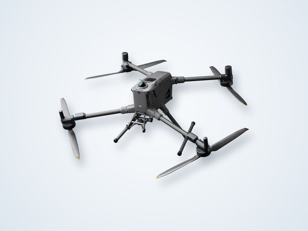
Low-altitude radar carried by drone.
Reveals layers, voids and buried objects.
Fly over ground that is unsafe to walk.
Dry sand penetrates far; wet clay very little.
What is drone-based ground penetrating radar?
Ground penetrating radar sends short radio pulses into the ground and records the reflections that return from changes in material. A buried pipe, a void, a layer boundary or a change in moisture each reflects energy differently, so the recorded traces build a cross-section of the subsurface.
Conventional GPR is pushed or towed across the surface, which needs safe, fairly smooth ground. A drone-mounted system flies the antenna at low height along planned lines instead. Position is recorded with GNSS so each trace can be placed on a map, and the lines can be combined into a three-dimensional volume of reflections that is sliced at different depths.
This suits terrain that people and wheeled equipment cannot easily cross: steep slopes, rubble, dense scrub, very soft or flooded ground, and sites with surface hazards such as unexploded ordnance risk or contamination. It also covers long linear corridors quickly.
There are physical limits that decide whether GPR is the right tool. Signal travels deep in dry sand or rock but is absorbed within a metre or less in wet clay, saline or highly conductive soil, which is a significant factor in coastal and arid regions with a high water table. Flying the antenna above the surface also reduces signal coupling and resolution compared with ground contact, so drone GPR is best seen as a rapid reconnaissance and mapping tool for shallow targets.
How it works
Assess
Review soil, moisture and targets to confirm GPR is likely to work at the site.
Plan
Set line spacing and flight height for the target depth and size.
Fly
Fly the lines at low, steady height while the antenna and GNSS log together.
Process
Filter and migrate the data, then build depth slices and cross-sections.
Interpret
Pick anomalies, check them against known features and report with confidence levels.
What you receive
Data
a. Georeferenced GPR profiles
b. Depth slices and 3D volume
c. Processed and raw radar files
Interpretation
a. Mapped utilities and buried features
b. Void and disturbed-ground zones
c. Layer and bedrock depth estimates
Reporting
a. Method, limits and penetration achieved
b. Anomaly register with coordinates
c. Recommendations for intrusive verification
Where it is used
Utility and pipeline mappingLocating buried services before excavation or construction.
Voids and sinkholesScreening for cavities beneath roads, embankments and sites.
Roads and pavementsLayer thickness and condition along long routes.
Archaeology and heritageNon-invasive mapping of buried structures.
Mining and geotechnicsShallow stratigraphy and bedrock depth over inaccessible terrain.
Hazardous groundReconnaissance over contaminated, unstable or unsafe land.
Drone GPR or ground-based GPR?
| Drone GPR | Ground-based GPR | |
|---|---|---|
| Access | Flies over rough, steep or unsafe ground | Needs ground you can walk or tow over |
| Speed | Fast over large or linear areas | Slower, line by line |
| Resolution and depth | Reduced by the air gap | Best coupling and detail |
| Best role | Reconnaissance and mapping | Detailed verification of targets |
Frequently asked questions
How deep can drone GPR see?
It depends mostly on the soil. In dry sand or rock the signal may reach several metres, while in wet clay or saline ground it may reach under a metre. We assess ground conditions before recommending the method.
Can it find buried pipes and cables?
It can detect many buried utilities, particularly metal and larger pipes in suitable soil. Plastic pipes and small cables are harder, and results should be treated as a map of likely features, not a guarantee.
Why use a drone rather than a handheld unit?
A drone reaches ground that is unsafe, soft, steep or simply too large to walk. The trade-off is lower resolution than a unit in contact with the ground, so the two methods are often combined.
Does it replace trial pits?
No. GPR indicates where something is likely to be. Intrusive checks such as trial pits or boreholes confirm what it is, especially where the result will govern excavation or design.
Need to see below ground you cannot walk?
Describe the ground and what you are looking for and we will tell you whether GPR is likely to work.
