

Drone SAR monitoring: radar change detection from the air
Detect small ground movement and surface change with radar that sees through cloud, dust and darkness.
Drone SAR monitoring flies a compact synthetic aperture radar over a site and compares repeat passes. It is aimed at detecting subtle surface change and movement on assets, slopes and ground where optical cameras struggle.
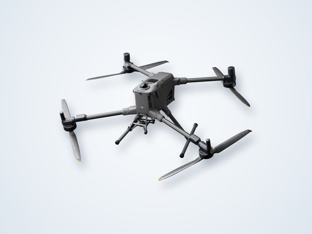
Active microwave sensor on a drone.
Radar does not depend on daylight.
Phase change between repeat passes.
Fly when you need it, not on a satellite schedule.
What is drone SAR monitoring?
Synthetic aperture radar, or SAR, builds a detailed image by transmitting microwave pulses and recording the echoes as the platform moves along a path. The motion lets a small antenna behave like a very large one, giving fine resolution that a fixed radar could not achieve. Mounted on a drone, a lightweight SAR payload does this at low altitude over a site you choose.
Two uses matter most. First, amplitude images show changes in the surface, such as new excavation, moved material or altered structures, and they work through cloud, haze, smoke and in darkness. Second, repeat passes along the same flight path can be compared in phase. A tiny shift in distance between passes changes the phase of the returned signal, so subsidence or slope creep of millimetres to centimetres can be detected across the whole scene rather than at isolated markers.
This is the same principle as satellite InSAR, applied from a drone. The advantage is control: you decide the date and flight path, and the ground resolution is far finer than satellite data. The trade-off is area, since a drone covers a site rather than a region.
Limits apply. Dense vegetation, wet or rapidly changing surfaces lose phase coherence, and results are most reliable on stable, hard targets. The flight path must be repeated closely, and atmospheric effects are corrected during processing.
How it works
Scope
Agree the area, the movement you need to detect and how often to repeat the survey.
Baseline
Fly a precisely positioned baseline pass and record reference conditions.
Repeat
Repeat the same flight path at agreed intervals or after a triggering event.
Process
Co-register the passes, correct for atmosphere and compute change and phase difference.
Report
Issue change maps and movement values with notes on reliability.
What you receive
Imagery
a. Georeferenced SAR amplitude images
b. Change-detection maps
Movement
a. Phase-difference deformation maps
b. Movement time series for zones of interest
c. Coherence maps showing data reliability
Reporting
a. Method and limits statement
b. Alert thresholds and recommendations
c. GIS-ready raster and vector files
Where it is used
Slope and landslide watchEarly signs of creep on cut slopes, spoil heaps and unstable ground.
Mining and tailingsMovement of pit walls, dumps and tailings embankments.
Dams and embankmentsSettlement and deformation of earth structures between inspections.
Infrastructure corridorsSubsidence along roads, rail and pipelines.
Site change detectionUnauthorised excavation, dumping or construction progress, even in poor visibility.
Emergency responseRapid assessment after floods or ground failure when cloud or smoke blocks cameras.
Drone SAR or satellite InSAR?
| Drone SAR | Satellite InSAR | |
|---|---|---|
| Timing | Fly on demand | Fixed satellite revisit schedule |
| Resolution | Fine, site-scale detail | Coarser, regional coverage |
| Area | A single site or corridor | Large regions and long histories |
| Cost per area | Higher over wide areas | Low for broad screening |
Frequently asked questions
How small a movement can drone SAR detect?
Under good conditions, differential phase can reveal movement of millimetres to a few centimetres between passes. The practical figure depends on the radar wavelength, surface stability and how closely the flight path is repeated.
Does it work at night or in cloud?
Yes. SAR is an active microwave sensor, so it does not need daylight and passes through cloud, haze and smoke. Heavy rain can affect the signal, and flight itself still depends on weather limits.
Is it better than satellite InSAR?
Neither is better in general. Satellites give broad, low-cost coverage and long archives. A drone gives finer detail and flights on your schedule over a defined site, so the two are often used together.
Where does it perform poorly?
Thick vegetation and wet or constantly changing surfaces lose coherence, so phase results become unreliable. Hard, stable surfaces such as rock, soil and structures give the best results.
Need to watch a slope or structure for movement?
Describe the site and the movement that concerns you and we will advise on drone SAR, satellite InSAR or both.
