

Drone-based digital twin and IoT: a living model of your site
A measured 3D model of your asset, kept current by repeat flights and tied to live sensor data.
A digital twin is a 3D model that stays connected to the real asset. Drone surveys build the geometry and refresh it over time, while IoT sensors add live readings, so teams can inspect, plan and monitor from one place.
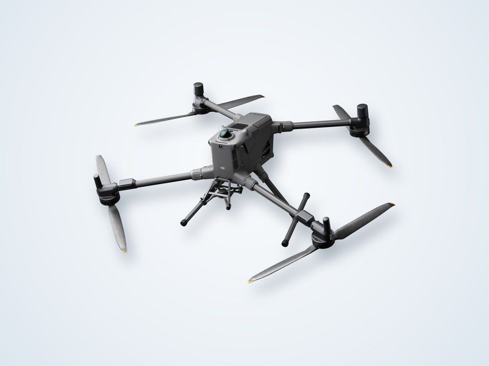
From LiDAR or photogrammetry flights.
Readings linked to locations on the model.
Model refreshed to show change over time.
Browse and measure without site visits.
What is a drone-based digital twin?
A digital twin is more than a 3D picture. It is a measured model of a physical asset that is linked to data from that asset and updated as conditions change. The drone supplies the first part: an accurate, georeferenced model of the site built from overlapping photographs or LiDAR, together with high-resolution imagery of surfaces and structures.
The second part is the live data. Sensors on the asset, such as temperature, pressure, tilt, flow, level or gas readings, report through an IoT gateway. Each sensor is tied to its position on the model, so a reading can be seen in context rather than as a line on a separate dashboard.
The third part is change over time. Repeat flights compare the current state of the site against earlier models. Differences in volume, position or condition can be measured and flagged, which makes the twin useful for progress tracking, inspection and maintenance planning rather than a one-off visualisation.
Two cautions are worth noting. A twin is only as useful as its data, so sensor selection and maintenance matter, and the model must be refreshed on a schedule that matches how fast the site changes. Integration with existing asset or plant systems also needs to be scoped early, as it often takes more effort than the survey itself.
How it works
Define
Agree the asset, the questions the twin must answer and the sensors and systems involved.
Capture
Fly the site to build the 3D geometry and high-resolution imagery.
Connect
Link IoT sensor feeds to positions on the model through a gateway.
Publish
Deliver the model in a web viewer with measurement and annotation tools.
Refresh
Repeat flights on a set schedule and compare each model with the last.
What you receive
Model
a. Georeferenced 3D mesh and point cloud
b. Orthomosaic and imagery library
c. Web-based viewer
Data
a. IoT sensor integration
b. Historical models for comparison
c. Exports for CAD, GIS and BIM
Insight
a. Change and volume reports
b. Inspection annotations
c. Maintenance and progress summaries
Where it is used
Construction progressCompare as-built against design and track earthworks and structures over time.
Energy facilitiesInspect plant and pipework alongside live process and gas readings.
Ports and terminalsStockpiles, quays and equipment in a single, measurable model.
Mining and quarriesVolumes, haul roads and pit changes tracked between flights.
Utilities and solarLarge, distributed assets inspected remotely at their real locations.
Asset handoverA complete, measured record of the site when a project is delivered.
Frequently asked questions
What data goes into a drone digital twin?
The core is a georeferenced 3D model and imagery from drone flights. Live sensor feeds, existing CAD or BIM files and inspection records can be added so the model carries operational data as well as geometry.
How often is the model updated?
That depends on how quickly the site changes. A construction site may need weekly flights, a stable plant may need quarterly ones. Sensor data can update continuously between flights.
Can it work with our existing systems?
Often yes, through standard exports and data interfaces, but this depends on the systems involved. We review integration needs at the start so the scope is clear.
Is it only for large sites?
No, but the value rises with asset size, cost of access and rate of change. Small, stable sites are usually better served by a single survey.
Want a live, measurable model of your asset?
Tell us what you operate and what you want to monitor, and we will scope the twin and the survey cycle.
