
Drone-based methane detection: find and locate gas leaks
Locate methane leaks from a safe distance, across facilities that are slow and costly to walk.
Drone-based methane detection flies a laser gas sensor over plant, pipelines and landfill to find leaks and estimate where they come from. It covers large or hard-to-reach assets quickly and keeps people out of hazardous areas.
Tunable diode laser absorption spectroscopy.
Reported as concentration along the path.
Crews stay outside hazardous zones.
Georeferenced readings and flagged locations.
What is drone-based methane detection?
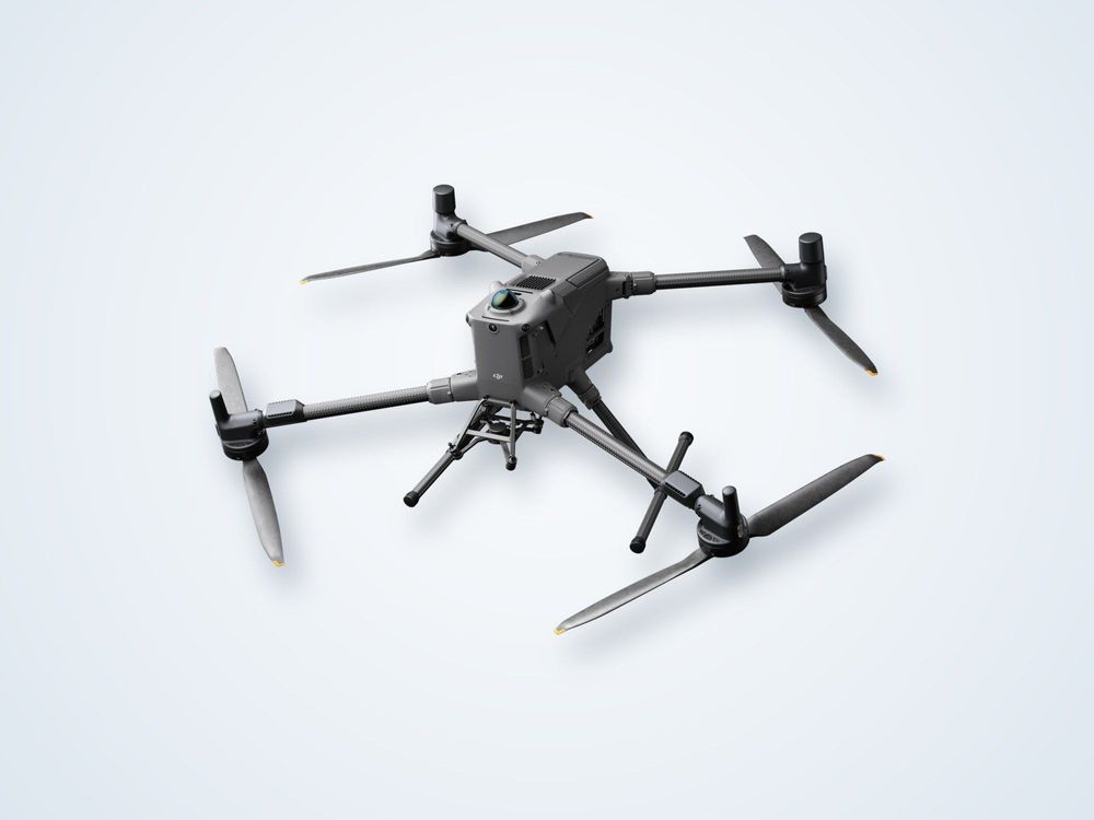
Methane absorbs infrared light at very specific wavelengths. A tunable diode laser absorption spectroscopy sensor, known as TDLAS, sends a laser beam toward a surface and measures how much light is absorbed on the way. The result is the amount of methane along the beam path, usually expressed in parts per million metres. Carried on a drone, this gives a gas reading wherever the aircraft flies.
The drone follows a planned pattern over the facility, usually at a safe height and speed, and every reading is tagged with its GPS position and the wind recorded at the time. Plotting these values shows plumes and hotspots. Because methane is lighter than air and moves with the wind, interpreting the readings needs wind data and often a second pass from a different direction to pinpoint the source.
This approach is well suited to wellpads, compressor and metering stations, pipeline corridors, tank farms and landfill sites, where walking a handheld detector over every component is slow and may expose people to risk. It is a screening and localisation tool, so a flagged leak is normally confirmed and repaired by the site team.
Limits are real. Strong wind disperses plumes and lowers sensitivity, reflective or very dark ground can weaken the laser return, and a drone sensor does not replace regulatory-grade fixed monitoring or a gas safety procedure.
How it works
Plan
Review the site layout, hazards and wind, and agree flight rules with the site operator.
Survey
Fly the facility in a set pattern while the sensor logs methane and position.
Locate
Repeat passes from different angles to trace plumes back toward their source.
Analyse
Combine concentration, wind and position to rank leak candidates.
Report
Issue a map of findings with coordinates and suggested follow-up checks.
What you receive
Maps
a. Georeferenced methane readings
b. Plume and hotspot map
c. Flagged leak locations
Records
a. Flight log with wind and weather
b. Sensor settings and detection threshold
c. Photographs of flagged equipment
Reporting
a. Findings and priority list
b. Recommended follow-up inspection
c. Repeat survey comparison
Where it is used
Oil and gas facilitiesScreening wellpads, compressors and tank batteries for fugitive emissions.
Pipeline corridorsSurveying long routes and remote sections quickly for leaks.
Landfill and biogasFinding surface emissions across cells, caps and gas collection systems.
Gas distribution assetsChecking metering stations, valves and above-ground infrastructure.
Emissions reportingEvidence to support leak detection and repair programmes.
Hazardous areasInspecting locations where sending staff with handheld detectors is unsafe.
Frequently asked questions
How does a drone detect methane?
It carries a laser sensor that measures infrared light absorbed by methane along the beam path. Readings are recorded with GPS position so concentrations can be plotted as a map of the facility.
Can it pinpoint the exact leaking component?
It narrows the source to an area or equipment group, and repeat passes improve that. Final confirmation of the exact component usually needs a handheld optical gas camera or detector.
Does wind affect the results?
Yes. Strong wind spreads and dilutes plumes and makes sources harder to trace, so surveys are planned for steady, moderate conditions and wind is logged throughout.
Does it replace regulatory monitoring?
No. It is a fast screening and locating tool that complements fixed monitors and handheld inspection. Regulatory requirements vary by country and should be checked against the method used.
Need to screen a facility for methane leaks?
Share the site type and size and we will outline a survey pattern, conditions and reporting.
