

Drone topographic survey: LiDAR and photogrammetry
Accurate terrain models and orthomosaics, captured from the air in a fraction of the field time.
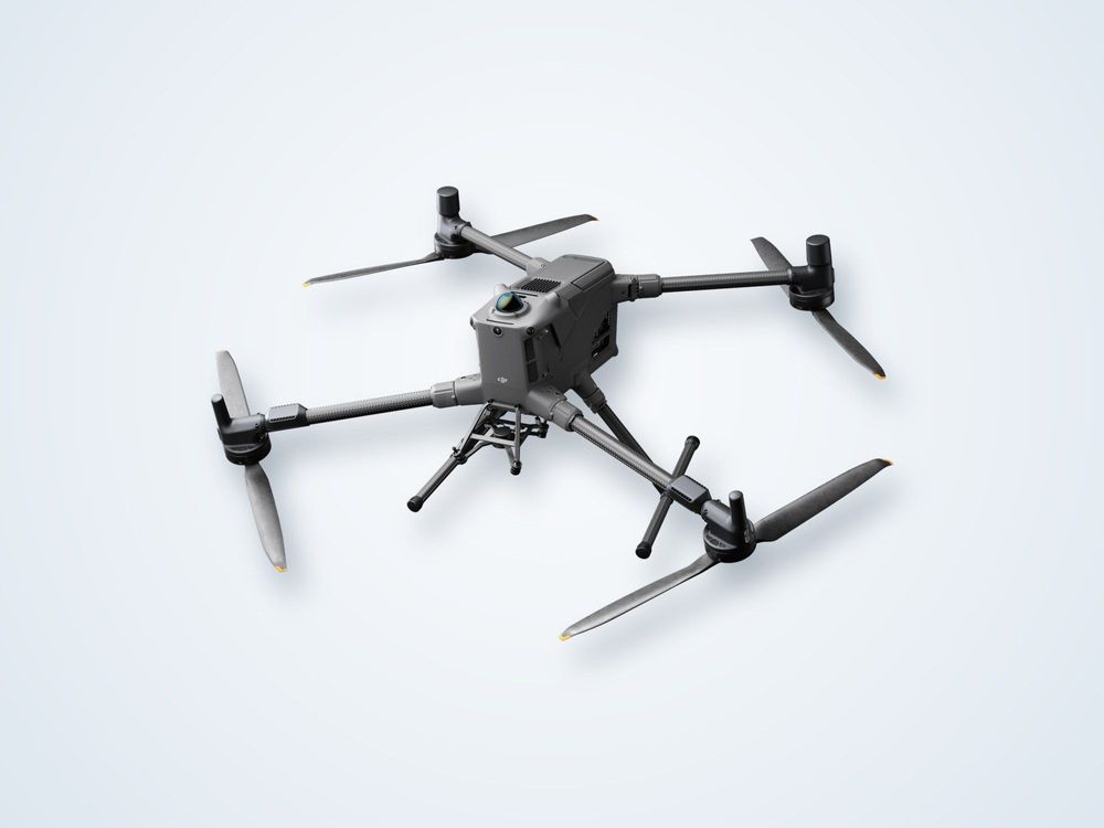
Drone topography replaces slow ground traverses with dense aerial data. A DJI Matrice 400 carries a Zenmuse L3 LiDAR or a photogrammetry camera over your site, and the data is processed into terrain models, contours and orthomosaics ready for design and earthworks.
With RTK/PPK positioning and ground control.
Chosen to suit vegetation and surface type.
No need to walk the whole site.
Plus contours, volumes and point clouds.
What is drone topographic surveying?
Drone topographic surveying measures the shape of the ground surface using sensors flown on an unmanned aircraft. Instead of recording individual points with a total station or GNSS rover, the drone records millions of measurements in a single flight and builds a continuous model of the terrain.
There are two main methods. Photogrammetry takes overlapping photographs and uses the shift between images to compute three-dimensional positions. It produces a high-resolution orthomosaic and works well on open, textured ground. LiDAR fires laser pulses and times the returns. Because some pulses pass through gaps in vegetation and reach the ground, LiDAR can produce a bare-earth terrain model under scrub and sparse canopy where photogrammetry cannot see the surface.
Positioning is what turns either dataset into a survey. The drone uses RTK or PPK GNSS corrections, and surveyed ground control or check points are used to verify the result. Without that control, a model can look sharp and still sit in the wrong place.
Limits are worth stating plainly. Dense forest can block most laser returns, standing water and glass confuse both methods, and very steep or enclosed ground may need ground survey to fill gaps. Flights also depend on weather and local airspace permissions.
How it works
Plan
Define accuracy, area and deliverables, check airspace permissions and place ground control points.
Fly
Fly planned, overlapping lines at a set height with the chosen LiDAR or camera payload.
Process
Correct the trajectory, build the point cloud or photo model and classify ground points.
Check
Compare the model against independent check points to confirm accuracy.
Deliver
Issue surfaces, contours, orthomosaic and a short survey report in your required coordinate system.
What you receive
Models
a. Digital terrain model (DTM)
b. Digital surface model (DSM)
c. Classified point cloud
d. TIN or grid surfaces
Maps
a. Orthomosaic imagery
b. Contour plans
c. Spot-height and break-line drawings
Analysis
a. Cut and fill volumes
b. Stockpile volumes
c. Slope and drainage analysis
d. Survey report with accuracy check
Where it is used
Construction and earthworksExisting-ground surfaces for design, plus progress volumes for cut and fill claims.
Roads and pipelinesCorridor topography along long linear routes that are slow to walk.
Mining and quarriesStockpile and pit volumes measured without sending staff onto unstable faces.
Coastal and port sitesBeach, shoreline and backshore terrain that joins up with shallow-water survey.
Oil and gas facilitiesSite grading, drainage and as-built surfaces around plants and pads.
Utilities and solarTerrain models for layout and drainage design across large, flat sites.
Equipment we use
LiDAR or photogrammetry?
| LiDAR | Photogrammetry | |
|---|---|---|
| Under vegetation | Some pulses reach the ground through gaps | Sees only the visible surface |
| Imagery | Intensity and optional colour | Full-colour high-resolution orthomosaic |
| Open, textured ground | Works well | Works very well, often at lower cost |
| Low light | Active sensor, less affected | Needs good daylight |
Frequently asked questions
How accurate is a drone topographic survey?
With RTK or PPK positioning and well-placed control points, centimetre-level results are achievable on open ground. The achieved figure depends on flying height, sensor, terrain and control, so we state it against independent check points in the report.
Can a drone survey through vegetation?
LiDAR can record ground points through gaps in scrub and light canopy, which photogrammetry cannot. In dense forest very few pulses reach the ground, and those areas may need supplementary ground survey.
Do you still need ground control?
Yes. Positioning from the drone is good, but surveyed control and check points are what prove the model is correct and tie it to your datum. The number needed depends on site size and required accuracy.
How much area can be covered in a day?
Coverage depends on flying height, overlap, sensor and weather. A drone can typically cover areas that would take a ground crew several days, but we confirm a realistic figure once the site and accuracy requirement are known.
What coordinate systems do you deliver in?
Data is delivered in the projection and vertical datum you specify, such as a national grid or local project grid, with transformation details noted in the report.
Need a terrain model of your site?
Tell us the area, accuracy and deliverables and we will recommend LiDAR, photogrammetry or both.
